Sonar Scans Revealed About 40 Huge Craters At The Bottom Of Lake Michigan, And It’s Likely That They Are Sinkholes

In 2022, researchers were working on a project to map the lakebed inside the Wisconsin Shipwreck Coast National Marine Sanctuary, a protected area of Lake Michigan that contains at least 36 shipwrecks.
Shockingly, only 15 percent of the bottom of the Great Lakes has been mapped in high resolution, but that’s sure to change in the coming years.
During the mission, sonar scans revealed strange circles at the bottom of Lake Michigan. Back then, scientists were unable to explain what the discovery was, but now, a survey of the shapes has revealed that they are huge craters.
According to Russ Green, a maritime archaeologist who was part of the project, the circles looked natural rather than artificial. They were most likely depressions in the lakebed, but the researchers weren’t completely sure.
“Any kind of discovery in the Great Lakes is exciting,” Green said. “But these features really stand out—they are in deeper water (500 feet) and weren’t known before, as far as we can tell.”
A local shipwreck hunter named Brendon Baillod spotted the circles around the same time as Green’s team. He thought the circles were craters that measured between 20 and 40 feet in depth.
After the data from the initial mapping expedition was processed, Green, Baillod, and colleagues reached out to scientists at the National Oceanic and Atmospheric Administration’s (NOAA) Great Lakes Environmental Research Laboratory (GLERL).
They conducted a survey to examine the circles further. They used a remotely operated vehicle to confirm that the shapes were giant natural craters. Overall, there were about 40 craters, but more may be found in the future.
The craters were on the lakebed roughly 14 miles southeast of Sheboygan, Wisconsin. They stretched southward in a line toward Port Washington, Wisconsin.

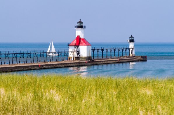
Kenneth Keifer – stock.adobe.com – illustrative purposes only
Previously, in 2001, similar depressions were found at the bottom of Lake Huron, which borders Michigan and Canada.
They turned out to be sinkholes. Sinkholes form when groundwater dissolves bedrock, causing the surface layer to give way. They can be found on land and underwater.
Part of Lake Michigan sits on limestone, which is prone to dissolving. So, it’s likely that the newfound craters on the lakebed are sinkholes as well.
More research needs to be done before some people feel comfortable enough to refer to the circles as sinkholes.
“I think they might be more accurately called craters, which have formed in the deep bottom sediment due either to water upwelling from below or trapped hydrocarbon off-gassing,” said Baillod.
According to the recent survey, no water escaped from the holes, which would indicate there is groundwater beneath the lakebed. However, it is believed the researchers will eventually detect some.
Images and video footage of the holes showed various creatures swimming around in the holes, such as small fish, freshwater shrimp, and invasive quassa mussels.
The researchers don’t really know what kind of impact the holes might be having on Lake Michigan, but they are hopeful that additional explorations over the years will reveal more information.
Sign up for Chip Chick’s newsletter and get stories like this delivered to your inbox.
More About:News